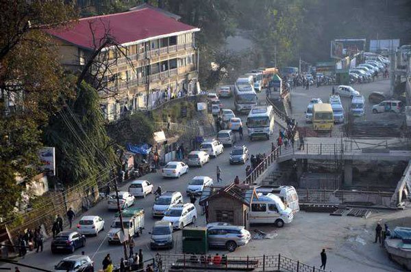
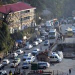
Entire Himachal placed in highest seismic risk zone as BIS releases new National map


Shimla, Dec 1,
Himachal Pradesh’s legal and regulatory landscape for earthquake-risk assessment is set for a significant shift after the Bureau of Indian Standards (BIS) released India’s updated national seismic zonation map, placing the entire state in the newly created Zone VI — the highest earthquake-risk category. This marks a clear departure from the earlier map, under which Himachal was divided between Zones IV and V based on district-wise geological variations.
India’s seismic zoning framework has evolved over nearly a century. The first national seismic map was prepared in 1935 by the Geological Survey of India after the devastating 1934 Bihar–Nepal earthquake. The most recent version that governed legal standards prior to this update was the 2002 map under IS 1893:2002, which formed the basis for structural safety, hazard identification and statutory compliance across the country.
The new map, released as part of the BIS Earthquake Design Code 2025, adopts a more advanced scientific methodology known as Probabilistic Seismic Hazard Assessment (PSHA). This shift is expected to influence how government agencies classify vulnerability and assess statutory risks under the Disaster Management Act, building-code frameworks, and state-level planning laws.
For Himachal Pradesh, the uniform placement in Zone VI legally redefines its risk category under national hazard-mapping norms. Under the earlier seismic zonation map (IS 1893:2002), Himachal Pradesh was divided between Zone IV and Zone V. Districts such as Kangra, Chamba, Hamirpur, Mandi, Kullu and parts of Kinnaur were placed in Zone V, classified as the highest-risk category under the old system. The remaining districts — Shimla, Solan, Sirmaur, Bilaspur, Una, Lahaul–Spiti and parts of Kinnaur — were mapped under Zone IV, which was considered a high-risk zone but lower than Zone V. This mixed categorisation has now been replaced entirely by the new 2025 map, placing all districts of Himachal uniformly in the newly created Zone VI.
While the new map itself does not automatically amend existing construction regulations or enforce fresh restrictions, it serves as the authoritative reference point for central and state authorities when preparing or revising hazard-risk-vulnerability assessments, microzonation studies, district disaster management plans and official land-use classifications. Any regulatory action arising from this re-categorisation will be taken separately by the competent authorities once they adopt the updated BIS code into their respective legal frameworks.
The change also alters the formal risk baseline used by various departments for statutory planning, including public infrastructure audits, compliance checks, and the preparation of mandatory disaster-management documents. Since the Disaster Management Act requires all state and district authorities to base their planning on “notified national standards and hazard maps,” the updated seismic zones will now form the legal basis for future risk-assessment exercises in Himachal Pradesh.
Experts note that the earlier distinction between Zones IV and V is now legally obsolete for the state, as the entire Himalayan arc—including Himachal—has been placed in the highest-risk category. This means that future policy decisions, official guidelines, and safety assessments issued by government departments will need to acknowledge the upgraded hazard classification.
For now, the BIS map functions as a statutory scientific document, not a regulatory order. Any consequent changes to planning norms, compliance requirements or departmental procedures will occur only after formal adoption by the relevant authorities. However, the updated zonation marks the first instance in which all regions of Himachal Pradesh have been placed uniformly in the highest seismic-risk classification recognised by national standards.
About the Author
The HimachalScape Bureau comprises seasoned journalists from Himachal Pradesh with over 25 years of experience in leading media conglomerates such as The Times of India and United News of India. Known for their in-depth regional insights, the team brings credible, research-driven, and balanced reportage on Himachal’s socio-political and developmental landscape.