Photo used for indicative purpose only. Source Internet
Himachal rainfall March 2026: State still 15% below normal despite 436% excess rain till March 20 evening
Shimla, March 20,
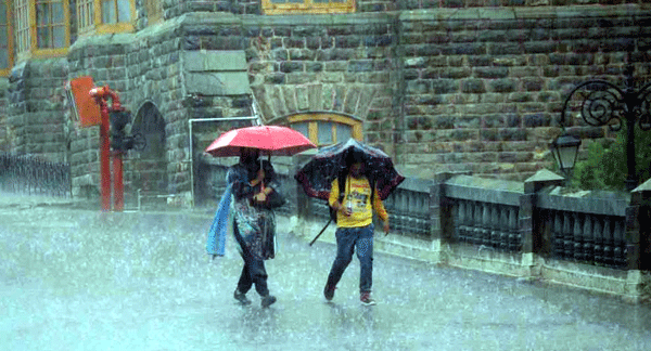
A sharp spell of rain across Himachal Pradesh in third week of March has brought widespread relief and a sudden weather shift, but the larger picture still shows the state running below normal for the month so far. Data released by the India Meteorological Department indicates that while Himachal recorded 436 per cent excess rainfall on March 20, the cumulative rainfall for March 1 to March 20 remained 15 per cent below normal.
The contrast is striking. For the month up to March 20, Himachal received 63.9 mm rainfall against the normal of 75.2 mm, reflecting a statewide shortfall. Several districts remained in deficit, including Sirmaur (-43%), Chamba (-33%), Lahaul and Spiti (-25%), Kinnaur (-17%), Solan (-17%), and Kangra (-16%). Shimla was nearly normal at 53.9 mm against 53.8 mm, while Kullu (+27%), Una (+17%) and Mandi (+10%) were among the few districts in surplus, noted the monthly data.
However, the rainfall pattern changed dramatically on March 20, when the state as a whole received 21.4 mm rain against a normal of 4 mm. In the data released by IMD it displayed that the heaviest district rainfall was recorded in Kullu with 35.9 mm, followed by Solan 25.9 mm, Shimla 24 mm, Kangra 23.6 mm, and Kinnaur 20.9 mm. In percentage terms, the day’s departure from normal was exceptionally high in several districts, including Sirmaur (+3131%), Una (+2400%), Solan (+1623%), Hamirpur (+1630%) and Bilaspur (+1550%).
Also read:Himachal wet weather spell likely till March 16 as IMD forecasts Rain, Snow and Thunderstorms
The three-hourly station data shows how concentrated the spell was in parts of the state. Between 8:30 am and 11:30 am on March 20, Shimla received 8 mm, followed by a much stronger burst of 26 mm between 11:30 am and 2:30 pm, before another 8.4 mm in the next three-hour block. Sundernagar saw its heaviest burst later in the day with 18 mm in the final three-hour window, while Kangra recorded 16 mm during the same period. Bhuntar received 12 mm, then 20 mm, then 9.5 mm across the three successive slots, showing sustained rainfall intensity.
The combined data suggests that although the latest spell has significantly boosted rainfall figures and may help moisture conditions in several areas, it has not fully erased the broader March deficiency. In practical terms, this means Himachal has seen a late but intense wet episode, rather than a consistently wet month.
As far as an impact, the rain is important for hill agriculture, orchards and water recharge, especially after deficits in multiple districts through much of the month. At the same time, such sharp bursts in a short duration can also affect road conditions, visibility and local movement in vulnerable hill stretches, particularly in districts that saw intense intra-day rainfall.
About the Author
The HimachalScape Bureau comprises seasoned journalists from Himachal Pradesh with over 25 years of experience in leading media conglomerates such as The Times of India and United News of India. Known for their in-depth regional insights, the team brings credible, research-driven, and balanced reportage on Himachal’s socio-political and developmental landscape.