Scattered Rain continues as monsoon lags behind schedule


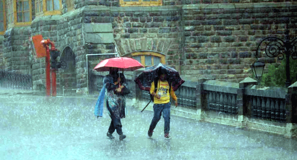
AI generated image. Used for indicative purpose only
Scattered Rain continues as monsoon lags behind schedule
Shimla, June 25,
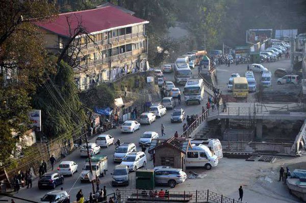
The delayed advance of the Southwest Monsoon is likely to leave Himachal Pradesh with a rainfall deficit in June, as the monsoon is now expected to reach the state only after June 30, about four to five days behind its normal schedule.
In the meantime, pre-monsoon weather systems, including a cyclonic circulation associated with a western disturbance, are expected to trigger scattered rain, thunderstorms and lightning over parts of the state, providing only temporary relief from the rising heat.
According to the India Meteorological Department (IMD), the Northern Limit of the Southwest Monsoon continues to remain south of Himachal Pradesh. Conditions are favourable for its further advance over parts of north India during the next few days, but the monsoon is unlikely to enter Himachal before the end of June.
A cyclonic circulation over Haryana and adjoining areas, coupled with pre-monsoon moisture, is influencing the weather over the western Himalayan region.
During the past 24 hours, pre-monsoon showers lashed several parts of the state. Nagrota Suriyan in Kangra district recorded the highest rainfall of 48.2 mm, followed by Ghamroor (39.4 mm), Malraon in Bilaspur (33 mm), Sundernagar (30.2 mm) and Bilaspur Sadar (25.2 mm).
Thunderstorms and lightning were reported from Shimla, Sundernagar, Kangra and Murari Devi, while hailstorm occurred at Sundernagar. Gusty winds reaching 57 kmph were recorded at Tabo.
The Meteorological Centre has forecast scattered rainfall over the state during the next five days.
Rain accompanied by thunderstorms and lightning may affect isolated places, particularly in the mid and higher hills, though no formal weather warning has been issued for the period.
Despite the scattered showers, daytime temperatures have started rising again. Maximum temperatures across most parts of Himachal remained near normal on Wednesday, with Una recording the highest temperature of 38.2 degrees Celsius.
The return of sunshine after intermittent rainfall has led to a fresh build-up of heat, and sweltering conditions are developing across several places in the lower hills and plains, including Una, Bilaspur, Hamirpur, Kangra and parts of Sirmaur.
Meteorologists said the delayed onset of the Southwest Monsoon is likely to result in below-normal rainfall during June unless the monsoon advances rapidly during the final week of the month.
Also Read Southwest Monsoon reaches Himachal ahead of time, Orange alerts for Heavy Rain issued
The temporary rise in mercury after brief pre-monsoon showers has also increased humidity, making weather conditions uncomfortable in many parts of the state.
The IMD has advised people to remain alert during thunderstorms and avoid taking shelter under isolated trees or near electric poles.
Farmers have also been advised to monitor weather updates as lightning, gusty winds and isolated hailstorms may affect standing crops in vulnerable areas.