Shimla, June 20,
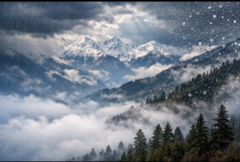
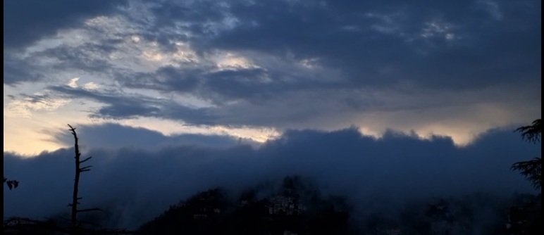
As misty skies and dense fog envelop the hill state, they mark a clear sign of the monsoon’s imminent arrival in Himachal Pradesh. Supporting this observation, the India Meteorological Department (IMD) has confirmed that the southwest monsoon is likely to advance over parts of the state within the next two to three days. A wet spell is expected to follow between June 20 and 25, bringing much-needed relief from the prevailing heat.
Thick, black clouds have already begun hovering over several regions, indicating that the monsoon is just around the corner. According to the IMD, conditions are favourable for the further advancement of the southwest monsoon across the remaining parts of the North Arabian Sea, Rajasthan, Madhya Pradesh, Uttar Pradesh, Uttarakhand, Himachal Pradesh, Jammu & Kashmir, and parts of Punjab and Haryana in the coming days.
Pre-monsoon rainfall has been recorded at several stations in Himachal Pradesh. Sangrah received the highest rainfall at 20.0 mm, followed by Pachhad at 7.4 mm, Sundernagar at 5.8 mm, Dharamshala at 4.0 mm, and Kasauli and Bajaura at 3.0 mm each. Other locations such as Jot, Chamba, Nichar, Sangla, Kufri, and Kalpa also reported light showers. No snowfall has been reported from any part of the state.
The maximum temperatures have remained below normal in most parts, further indicating the seasonal shift. Una recorded the highest temperature in the state at 38.0°C, while Shimla was relatively cooler at 24.0°C and Kufri at 20.2°C. The average deviation in maximum temperature across reporting stations stood at 1.9°C, reflecting a consistent cooling trend ahead of the monsoon’s full onset.
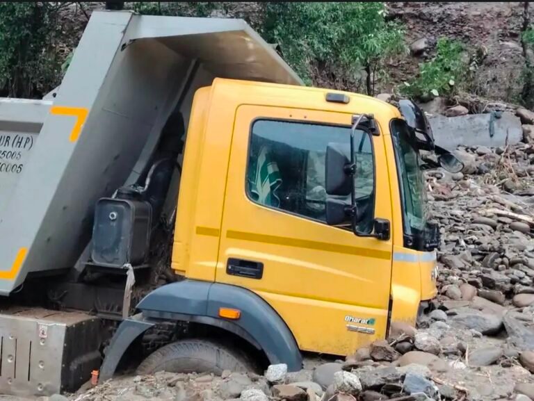
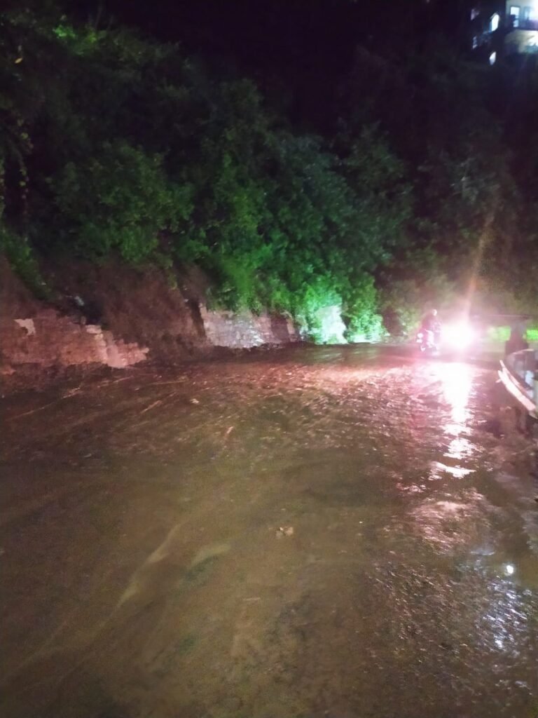
In light of the approaching rainy season, the state government and disaster management authorities have been placed on alert, particularly in areas vulnerable to landslides, flash floods, and other monsoon-related risks.
About the Author
The HimachalScape Bureau comprises seasoned journalists from Himachal Pradesh with over 25 years of experience in leading media conglomerates such as The Times of India and United News of India. Known for their in-depth regional insights, the team brings credible, research-driven, and balanced reportage on Himachal’s socio-political and developmental landscape.