

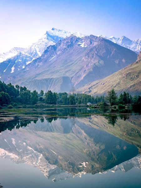
Photo used for indicative purpose only
Shimla, May 12,
Himachal Pradesh is experiencing a curious contrast in temperatures — with nights turning noticeably cooler than average while daytime mercury hovers near seasonal norms. According to the India Meteorological Department (IMD), this trend is set to change in the coming days, with a gradual but steady rise in both minimum and maximum temperatures expected after May 14.
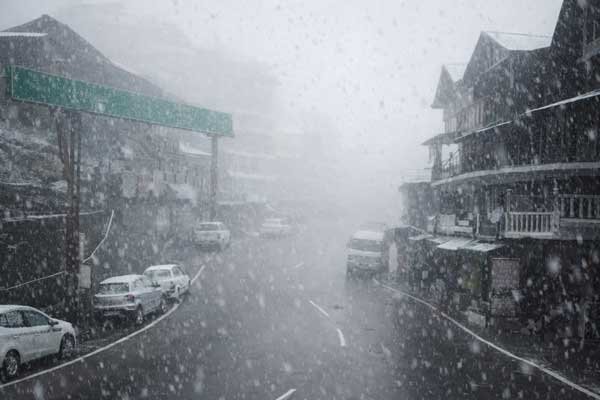
Following over a week of unsettled weather, several regions in the state saw scattered rain and thunderstorms on Sunday night. Gusty winds lashed mid and high hills, disrupting normal life in parts of Kangra, Shimla, and Sundernagar. Wind speeds peaked at 57 km/h in Reckong Peo, while Bajaura in Kullu witnessed 52 km/h gusts. Tourist spots like Kufri and Seobagh recorded wind speeds of 44 km/h, while Tabo experienced 39 km/h and Hamirpur and Narkanda 31 km/h.
In the past 24 hours rainfall was light but widespread. Bharmaur in Chamba received the highest rainfall at 10 mm, followed by Kandaghat in Solan (8 mm), Kasauli (3.4 mm), Shimla and Kufri (2.0 mm each), Kukumseri (1.9 mm), Kothi (1.8 mm), and Neri (1.5 mm). Dharampur, Una, Manali, Dalhousie, and Pandoh each recorded 1 mm.
Despite the thunderstorm activity, daytime temperatures across most of Himachal’s plains and lower hills remained within the expected seasonal range. Paonta Sahib was the state’s hottest location at 38°C on Sunday — a temperature close to the long-term average but a sign of intensifying heat in the lower elevations.
Cooler nights — For now
Night temperatures, however, have shown a significant deviation from the norm. Keylong in Lahaul-Spiti was the coldest at 4.7°C, with Kalpa at 7.5°C and Manali at 11.9°C. Shimla registered a minimum of 12.2°C — 2.4°C below normal. Dharamshala, too, was 2.3°C below normal, while Jubberhatti saw a dip of 2.4°C below average.
Even typically warmer regions like Solan (15.6°C), Mandi (18.5°C), and Dharamshala (14.9°C) remained on the milder side. Lower hill districts, however, retained higher nighttime temperatures, with Bilaspur at 21.4°C, Hamirpur at 20.8°C, and Una at 18.6°C.
Rising heat ahead
With major Western Disturbances moving away, the IMD has forecast largely dry weather for the week ahead. Isolated rain or thunderstorm activity may persist over mid and high hills, but most regions will experience clear to partly cloudy skies. This lull in weather activity is likely to push daytime temperatures higher by 3–4°C, with night temperatures also rising by 2–3°C.
The maximum temperature in Una, Hamirpur, and Bilaspur is likely to touch or cross the 40°C mark on Monday and continue climbing through the week. The plains, though spared from intense heatwave conditions due to intermittent cloud cover so far, may no longer enjoy that buffer.
The IMD has indicated a possible return of active weather early next week, with a fresh Western Disturbance expected to impact the region. This may trigger another spell of rain and thunderstorms, particularly over the mid and high hills, offering potential respite from the growing heat.
Residents, particularly farmers and those in low-lying heat-prone areas, are advised to remain alert and plan accordingly. The brief interlude of mild nights and cloud-protected days may soon give way to a hotter and drier phase, underscoring the need for heat preparedness and water conservation.
As summer tightens its grip on the region, Himachal Pradesh stands at a transitional juncture — between fleeting spring-like relief and the full onset of hill-state summer heat.
About the Author
![]()
The HimachalScape Bureau comprises seasoned journalists from Himachal Pradesh with over 25 years of experience in leading media conglomerates such as The Times of India and United News of India. Known for their in-depth regional insights, the team brings credible, research-driven, and balanced reportage on Himachal’s socio-political and developmental landscape.


https://t.me/Top_BestCasino/129